
Approach
Entering the harbour is straight forward at most states of the tide and in most weather conditions so long as you observe the navigation aids.
Charts: AC 30, 1613, SC5602, Imray C6, C14 & Imray 2400.6; OS Map 201
Tides: HW Dover -0520. Range MHWS 5.4m – MHWN 4.3m; MLWN 2.1m – MLWS 0.7m
The speed limit in the harbour is 6 knots with a requirement for minimum wash.
Hazards:
-
Western and Eastern Ebb rocks, not marked
-
Mouthstone Ledge, from the east, not marked
-
Inner and Outer Slimers, from the west, not marked
-
Sand bar extends south from northern shore of entrance, lit with two port hand marks
-
Spit, extends south from the northern shore within the harbour, unlit port hand mark
- Drying area on approach to harbour office, unlit starboard hand mark.
The Harbour entrance lies between Mouthstone Ledge and Season Point. The mouth of the river is shallow, 0.9m within Cellar Bay at spring tides and a drying sand bar extends southwards from Season Point on the north shore across the entrance.
Wembury Bay and the entrance can be rough when there is a strong ebb tide and strong westerly winds or a swell. It may be desirable for arrival times to take these conditions into consideration. The clearance bearing on St Werburgs Church should be observed to avoid the Western Ebb rocks.
The east/west leading line, white triangles with vertical black stripe above Cellar Beach, are set to clear the rocky Mouthstone Ledge by a safe distance. Once past Mouthstone Ledge observe the need to pass the bar buoys to port as the leading line passes over the tip of the sand bar which starts to dry at 0.6m LAT.
Vessels should pass south of and close to the first Port Hand buoy (Fl R 5s) and then proceed to the second Port Hand buoy (Fl R 3s). this will take you clear of the tip of the sand bar.
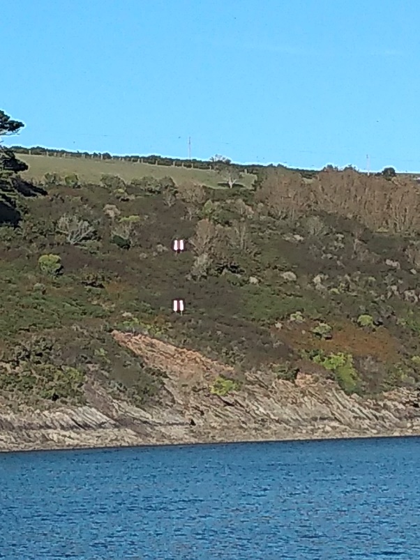
Once past the second Port Hand buoy line up the second leading line on Wembury hillside, white squares with red vertical stripe. In Cellar Bay the bottom is generally level hard sand with no distinct channel and there may be as little as 0.9m on Spring Tides.
Continue to follow the leading line until the moorings open up and then turn into the river at Misery Point. From Misery Point the channel deepens to over 2.5m.
Proceed through the middle of the moorings and be sure to locate the Spit Port Hand buoy and leave to port as the Spit dries to 1.4m.
After the first visitor’s pontoon and as you approach the Yealm Steps pontoon make sure to locate the Office Starboard hand buoy.
There may be up to 2 knots of tidal current at times. Skippers should make allowance for this when attempting to turn in congested areas or when coming along side.
The maximum speed within the harbour is 6 Knots, however some boats create a lot of wash at these and lower speeds and they should slow down to minimise the wash, especially when passing through the moorings.
Downloadable Documents
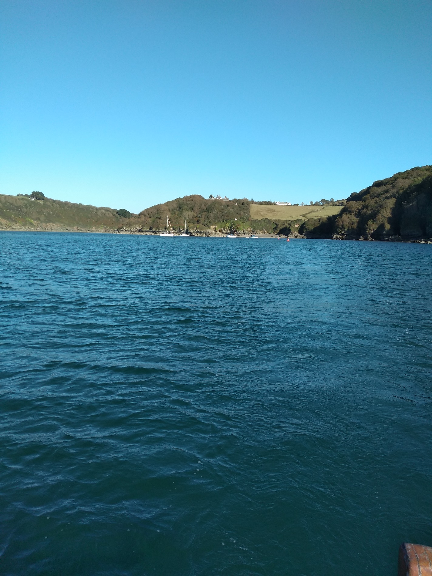
Passing Mouthstone Ledge using the two triangular leading marks in the distance on the hillside and approaching the Sand Bar.
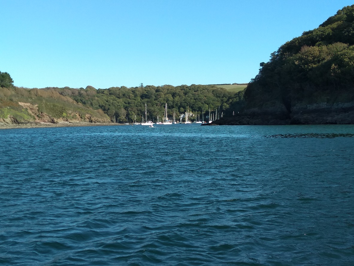
The Outer and Inner sand bar port hand marks with Cellar Bay in the background. Disregard the leading line at this distance
The Outer and Inner sand bar port hand marks with Cellar Bay in the background. Disregard the leading line at this distance.
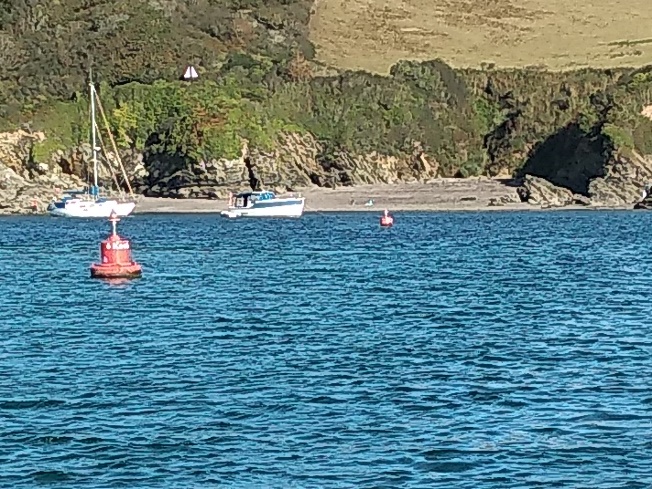
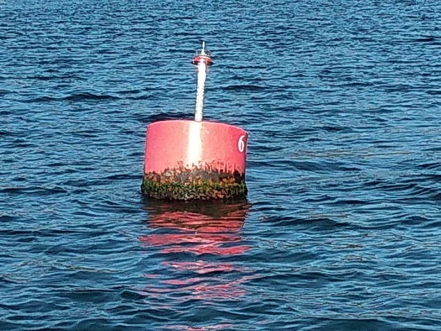
The outer sand bar port hand mark.
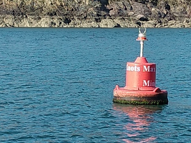
The inner sand bar port hand mark.
Once around the inner sand bar port hand mark turn to port and following the next leading line.